Cultural immersion
Hunza and the Upper Valleys
Burushaski, apricots, and a language with no relatives
- Region
- Hunza, Nagar & Gojal
- Length
- 8 days
- Group size
- Maximum 10
- Effort
- Moderate
- Season
- Summer and autumn
Hunza is the most photographed valley in Pakistan and one of the least understood. Most visitors come for the mountains and leave without noticing that the people here speak a language unrelated to any other on earth.
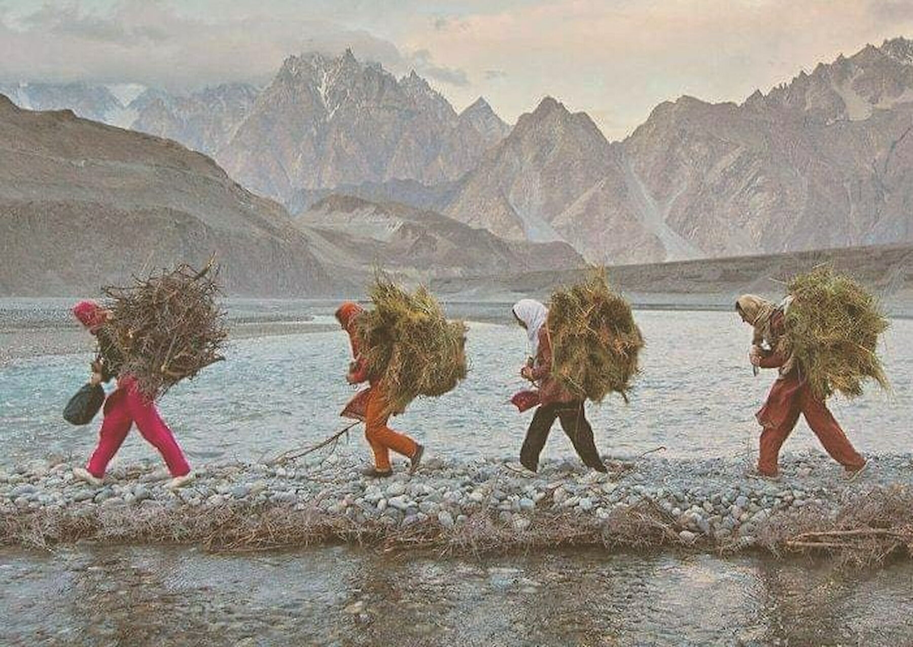
This route follows the valley up from Karimabad into Gojal, where Burushaski gives way to Wakhi, and spends as much time on the irrigation channels and the apricot terraces as on the viewpoints.
Day by day
The itinerary
Day 1Arrive Gilgit+
Arrival, rest, and an evening briefing.
Day 2Up to Karimabad+
The drive into Hunza, and an afternoon in the old settlement above the modern town.
Day 3Altit and Baltit+
The two forts, and what their restoration did and did not do for the valley.
Day 4Terraces and channels+
A day on foot along the irrigation channels with someone who maintains them.
Day 5Nagar+
Across the river, where the same language is spoken and much else differs.
Day 6Into Gojal+
Upper Hunza, Attabad, and the shift from Burushaski into Wakhi country.
Day 7High pastures+
A walking day above the treeline, with time at a summer settlement.
Day 8Return to Gilgit+
Back down the valley and onward travel.
The practical part
What is and is not included
Included
- Seven nights accommodation
- All ground transport from Gilgit
- Breakfast and dinner daily
- Local guides and interpreters
- Site entry fees
- A contribution to the documentation fund for every booking
Not included
- International flights and Pakistan visa
- Domestic flights to Gilgit
- Lunches and personal spending
- Travel insurance, which is required
Before you commit
Fitness, beds and kit
How hard is it
Moderate. Several walking days of four to six hours, some of it on narrow channel paths with exposure. Highest overnight is around 3,000m, so mild altitude effects are possible.
Where you sleep
Locally owned guesthouses in Karimabad and Gojal. Comfortable by the standards of the region, simple by any other.
What to bring
- Walking boots with ankle support
- Sun protection: the light at altitude is severe
- Warm layers for evenings
- A refillable water bottle
- Any medication you need, in original packaging
Responsible travel
Who benefits
Questions
Asked often
- How bad is the altitude?
- Manageable for most people. Nothing on this route goes above about 3,500m in the day, and we build in an acclimatisation day.
- Is the Karakoram Highway safe?
- The road is in good condition and we travel it in daylight only. Landslides do close sections at short notice, which is why the itinerary has slack in it.
- Can I extend the trip?
- Yes. Mention it on the enquiry form and we will look at options.